NOVINKA

17%

Popis tovaru
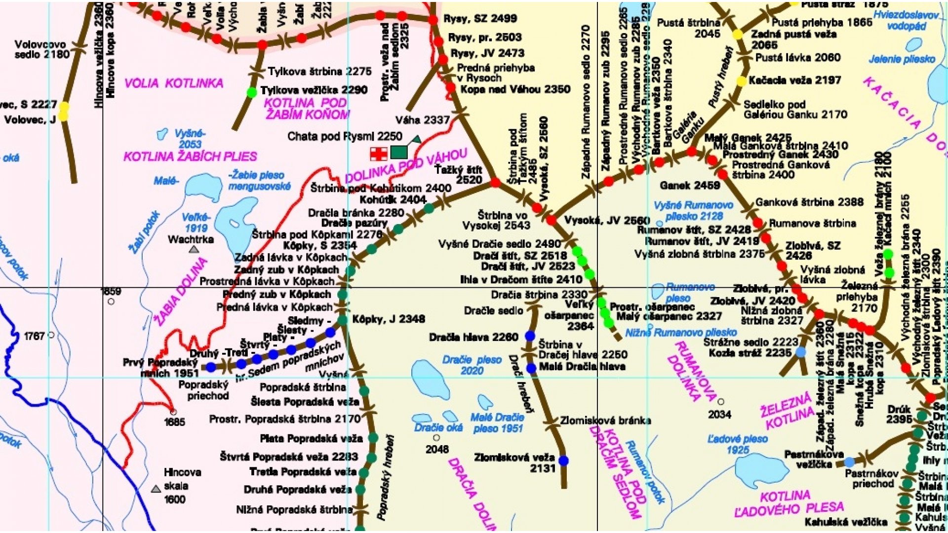
Marián Jacina, co-author of the mountaineering guides Selection of Tatra Walls East and Selection of Tatra Walls West, has "dusted off" the older editions of schematic maps of the High Tatras and brought in his publishing house a detailed schematic map of ridges, peaks, saddles and other geographical formations of our mountains, including the Belianske Tatry and the eastern part of the Western Tatras up to the Smrečianske saddle. The map will certainly be an excellent help for climbers in orientation in the Tatra terrains and will suitably complement the already mentioned mountaineering guides. Scale of the map: 1:25 000 Year of publication: 2019Parametre
Weight: 50 g
Recenzia užívateľov (0)
Napsat recenzi
other products in the same category:


")


-20%
Sprievodca je v tlači. Čoskoro spustíme predaj.